Gwynne-Harris Round Final 3 Summits – Route Recce
min read
293 Views
min read
293 Views

Date: Sunday 1st May 2022
Estimated miles: 14 miles
Strava says: 16.67 miles
Elevation: 3,750 ft / 1,143 m
Weather: mild, overcast
Start: Blaen y Glyn Isaf car park, nearest postcode CF48 2UT
Route type: circular
Conditions: a little wet after overnight rain but firm
Website link: Gwynne-Harris Round
Describe the route in three words: fabulously leisurely pace

Gwynne-Harris Round – Craig y Fan Ddu, Fan y Big, Waun Rydd and Twyn Du plus a revisit to Allt Lywd
I lay in bed a lot of the night listening to the rain pattering on my hotel window. What was I thinking? Yesterday I had run the Blacks to the Beacons 50 in glorious weather. My legs were not hurting but I did feel tired, especially as I couldn’t seem to fall into a deep sleep. I’d organised my tracker, I’d told everyone my plans and I wasn’t traveling home today, I still had tonight in the hotel. I really needed to put my big girl pants on and forget about the weather! I knew I had time on my side too, there are so many daylight hours this time of year and I was only doing around 14 miles. I enjoyed The Dragon Inn’s full veggie Welsh breakfast and faffed around with the tracker a bit, I wasn’t completely sure it was working but I believe that was because I wasn’t anywhere near the course. Just in case though, I rang my husband to go through my plans and tell him to send out a search party if he’d not heard from me by 5pm.
As I drove along the road running alongside Talybont Reservoir, I laughed to myself, this was going to be hellish running along here later. I’m not a big fan of roads, and I’m not a big fan of flat. Although it is a gentle uphill the whole way, it is flat compared to the rest of the route.
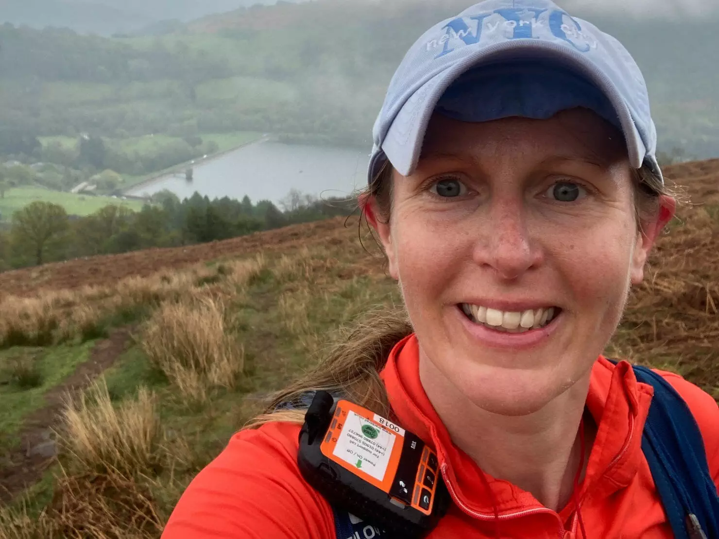
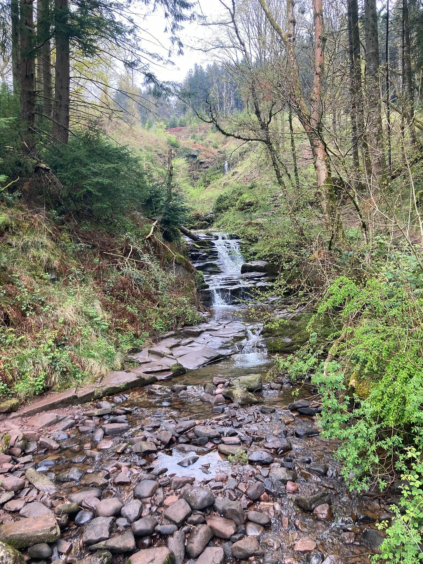
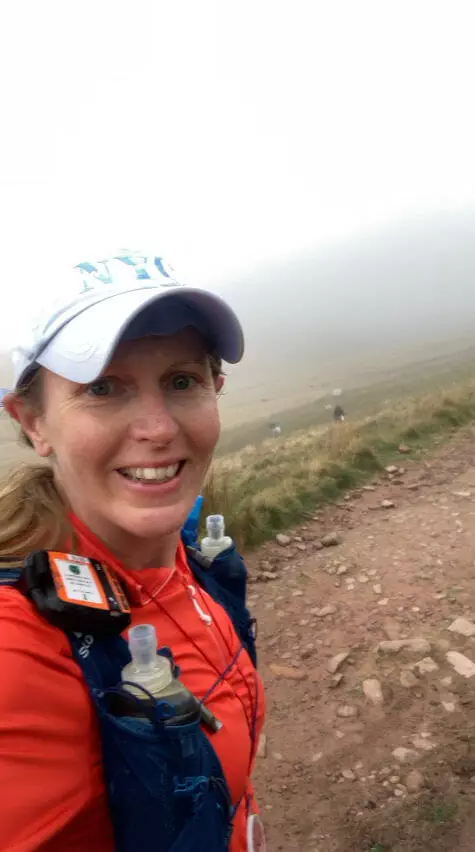
I was to rejoin the Gwynne-Harris Round at a stile by a river, I knew I needed to find a way over the river and then head for Craig y Fan Ddu. I set off at 11.05am. I decided to walk to the river crossing as I wanted my legs to really warm up after yesterday’s excursions plus I was in no hurry today. I found the stile and easily found a way across the river. Of course when I’d been here back in January I couldn’t see a way across as it was winter and the river was running faster and fuller. There were three hikers nearby and I did wonder what they must be thinking as I crossed the river, although there is a footpath marked here on Strava maps, there isn’t on my Harvey’s map. There is a clear path to follow where others have been though, and a low fence to step over. I came into a large expanse of grassy area and saw a path, I followed it a little but it wasn’t going in the right direction. The best thing to do here is stick to the fence line as that brings you onto a proper footpath which in turn goes to a gate, ignore the gate, the direction here is up. Another couple of walkers had come through the gate as I was approaching and it was good timing as due to the fog, it meant I had a good indication of where the path was. You can’t miss it though, it’s a path that has been laid with rocks. It’s a long climb up to Craig y Fan Ddu and it was very foggy. The path here though is very clearly defined and I wasn’t too sure when I was at the highest point, I took a selfie when I thought I was at the top, Craig y Fan Ddu 11.58am.
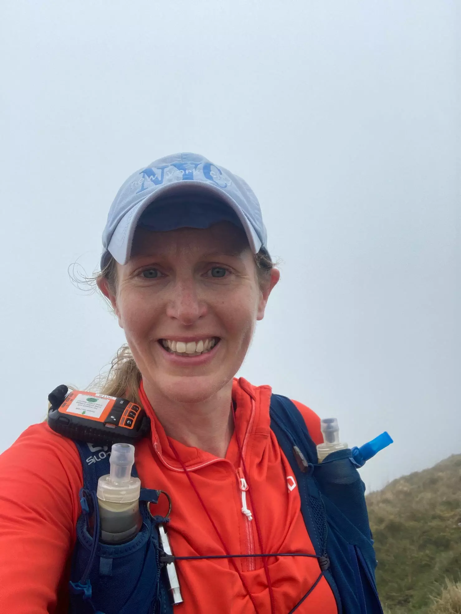
I continued along the way, a bit disappointed that there were no views today, I was really spoilt yesterday, I had a feeling that I was in a spectacular location, I just couldn’t see it!
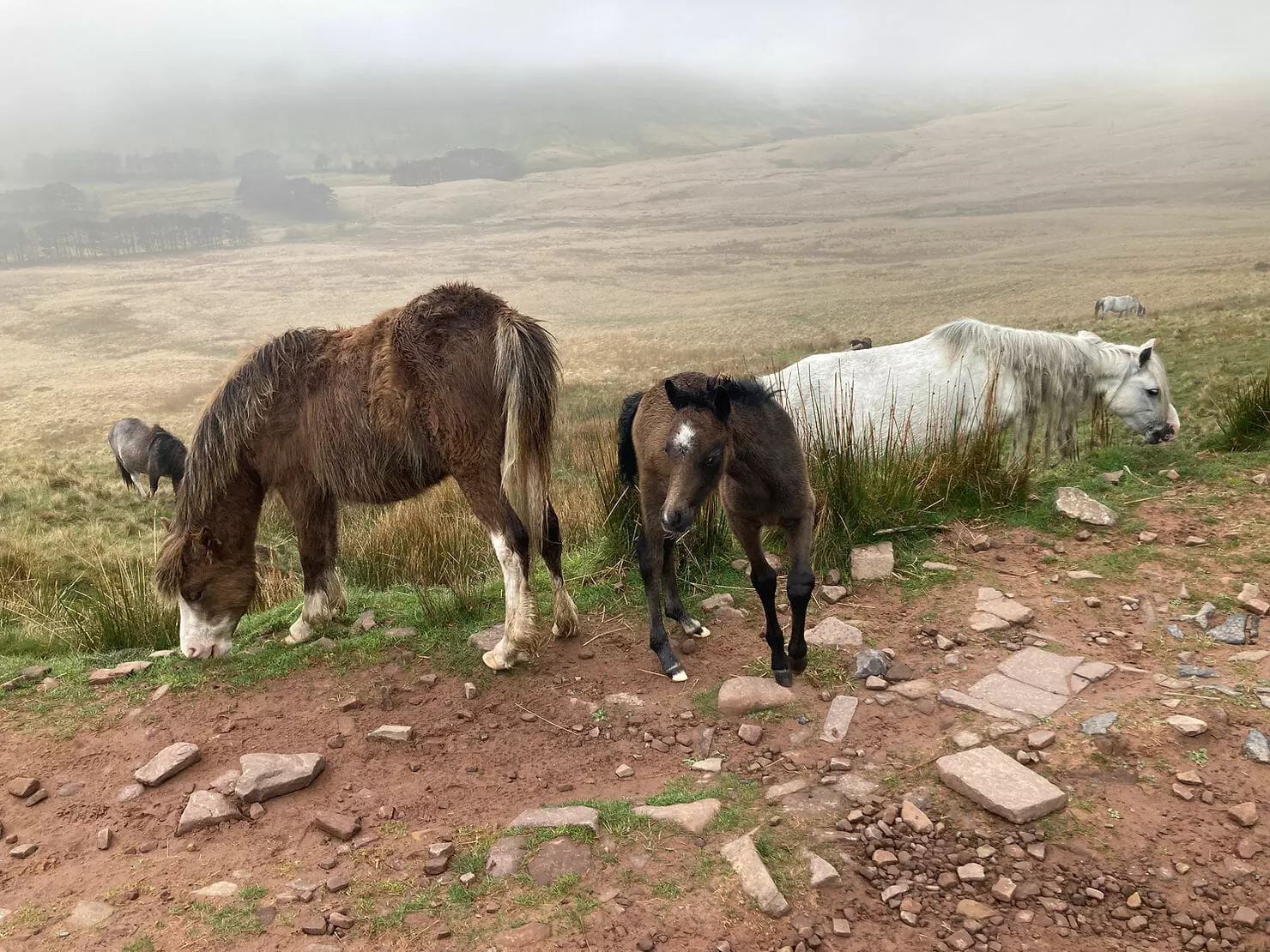
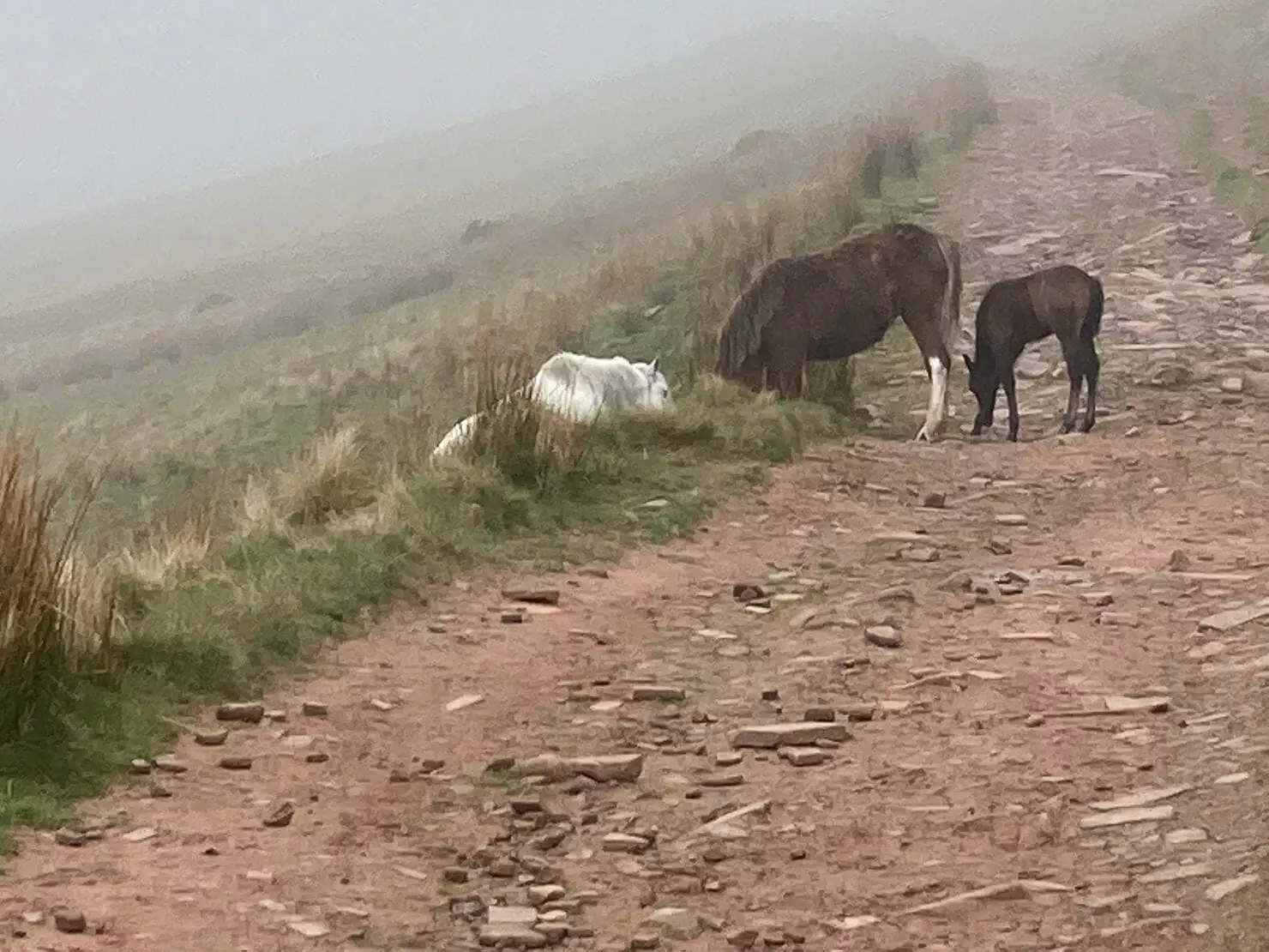
I started coming down and followed a fence line to my left and river to my right. I could hear excited voices and stopped to watch some brave mountain bikers come down a steep stony hill. I realised that I needed to go up it, they’d all come down and were walking up the other side as we passed, we exchanged pleasantries and as I reached the top I suddenly had a very familiar feeling. I knew exactly where I was! I was heading towards the Neuadd water tower and the Roman Road to Fan y Big was on my right. I’d overshot the Roman Road so I back tracked and headed up it. I’ve only run this from the other direction which is downhill, it’s very rocky and stoney. I considered running along it but I thought, you know what? I smashed out 50 miles yesterday, there’s no need to push it today! So I ran-walked, stopping to take photos of the mares with foals at foot.
I reached the bottom of Fan y Big and laughed, I was here just yesterday! But I bet you I can get up it quicker today! Turns out I got a PB and was 2.5 minutes quicker than the day before! Not bad considering it’s a short ascent. Fan y Big 1.07pm I took a selfie with the non existent view and sent it to Hannah who I’d run with the day before. I’m sure she’d appreciate how lucky we had been with the weather.
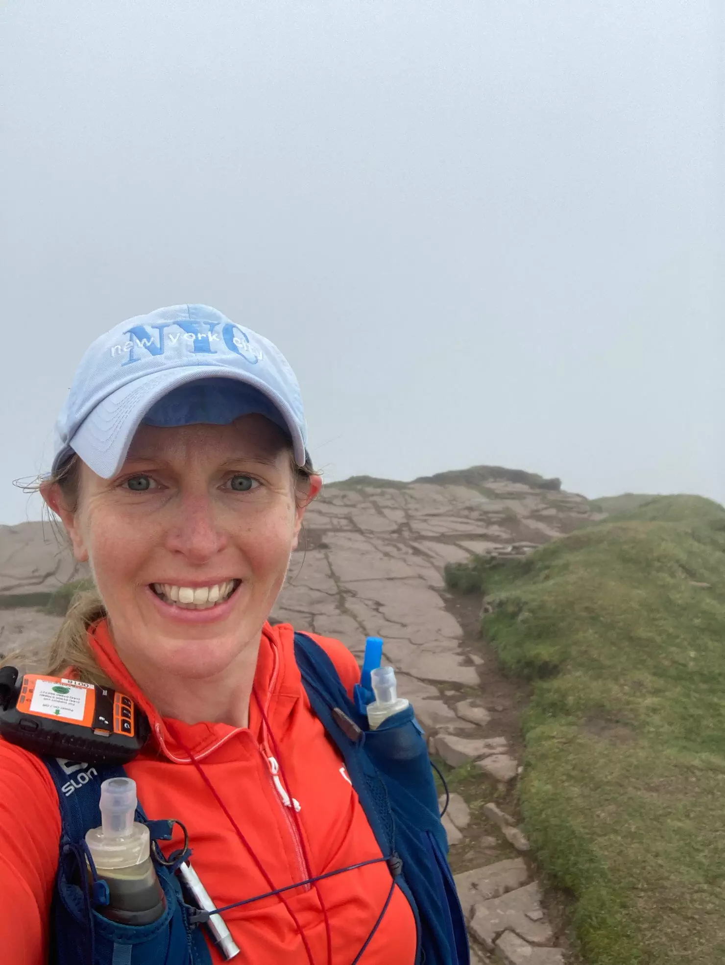
I had a long ridge line section now. It’s hard for me to get any pace up over all the rocks and stones but I did my best, I came to Waun Rydd 1.20pm.
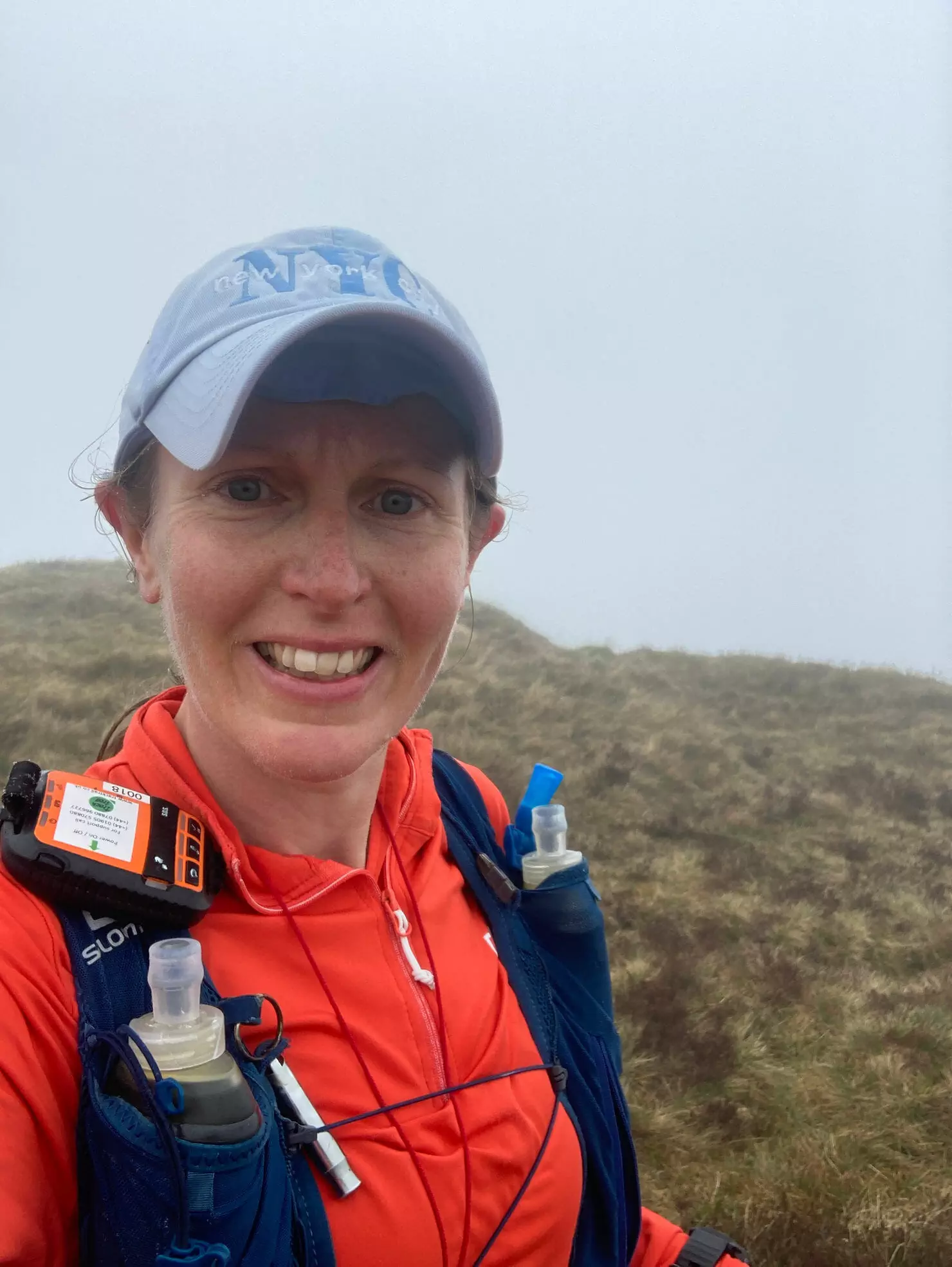
I passed through various cairns. This was enjoyable along here but not fast work for me.
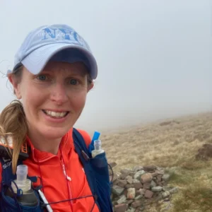
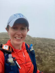
I reached a huge cairn (this could have been Twyn Du – 536 m) and the path lead me steeply down, over some very definite stone steps.
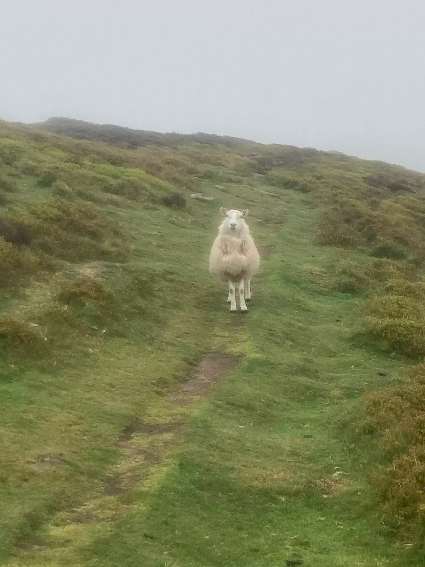
As I continued descending beyond the steps I wondered if this would now be it until Talybont? I’d done all the summits now so there can’t be any more challenging lumps ahead surely?
The path lead me over a couple more small hills and then Talybont Reservoir came into view. I had a huge grin on my face as I wondered how I would feel the next time I saw this view? The next time I see this view, I will be doing the full Gwynne-Harris Round. I then wondered to myself if I could really make it this far? I hoped so, as this last section really is a joy and an absolute breeze compared to many other parts of the route, what a lovely way to finish.
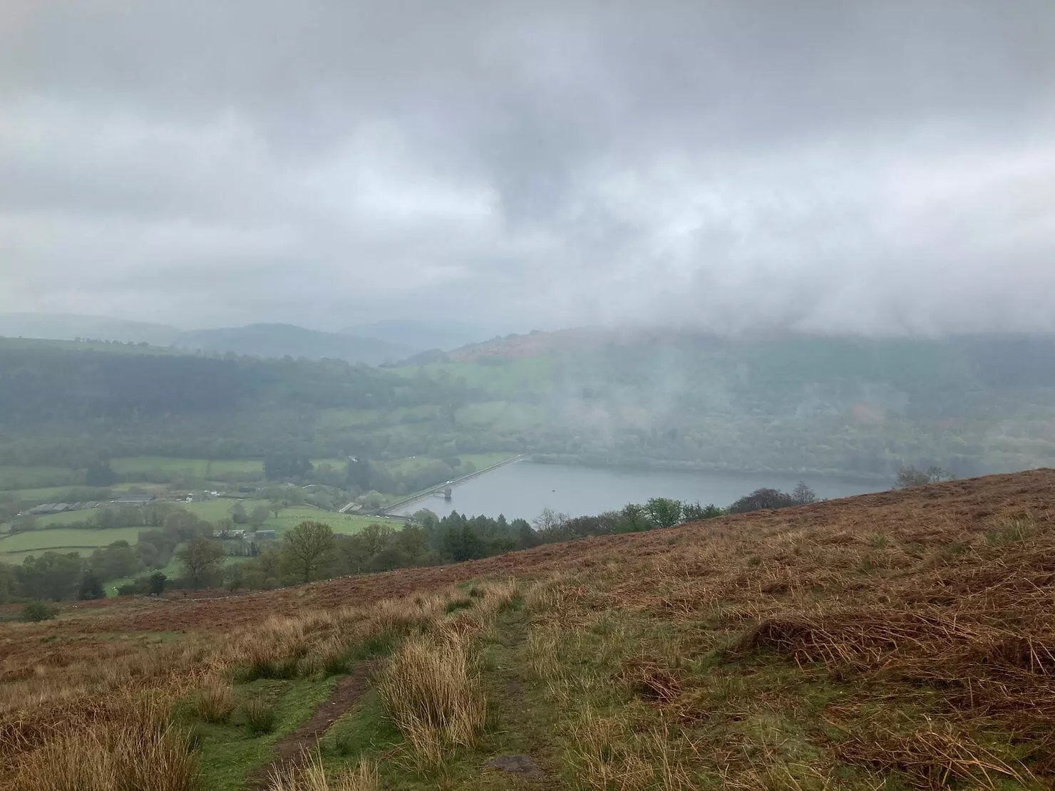
As I started coming lower and lower, I remembered that the gpx has a massive kink in it where as the map shows me there is a more direct way to Talybont Reservoir. I reached a stile and looked at the gpx. 0.45 miles to the next turning. Hmmmm. I decided I was here to explore after all and took the stile. I crossed the field, over another stile and the lane delivered me right in front of the road crossing to the reservoir, which also happens to be the start/end point of the Gwynne-Harris Round, 2.44pm. Great! I’ve just shaved off nearly half a mile and right at the end of the route too! I was elated!
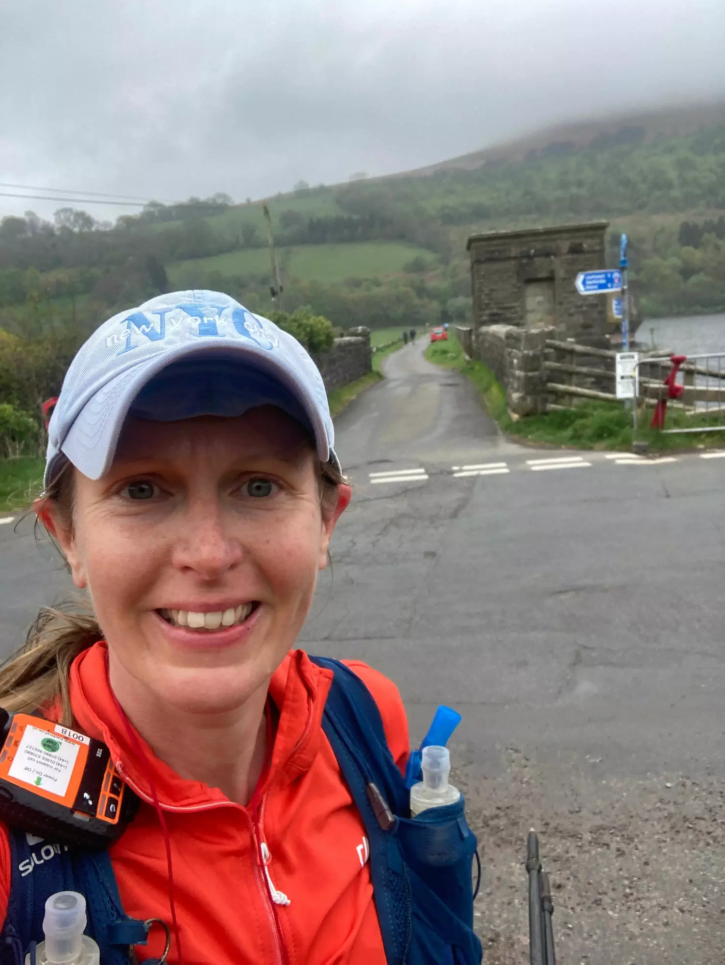
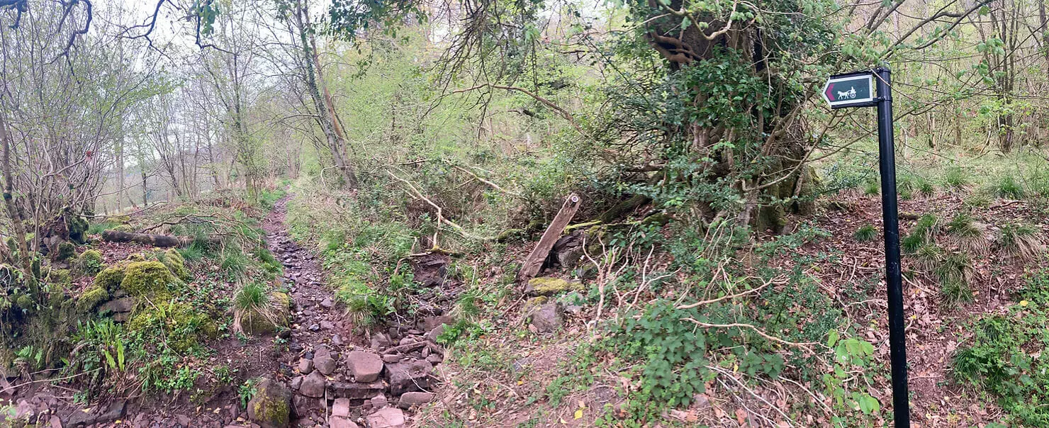
Now I had the road section to deal with. As I ran along, I kept thinking to myself how the canal section yesterday had been a bit of a mental struggle for me. I had been a little disappointed with myself for not being able to approach it more positively. Do you know what though? Other than a break to eat a packet of Hula Hoops, I ran the whole thing! I was really surprised with myself (and pleased). I reached the horse and carriage sign in Abercynafon at 3.14pm which marks the turn off for Allt Lywd.
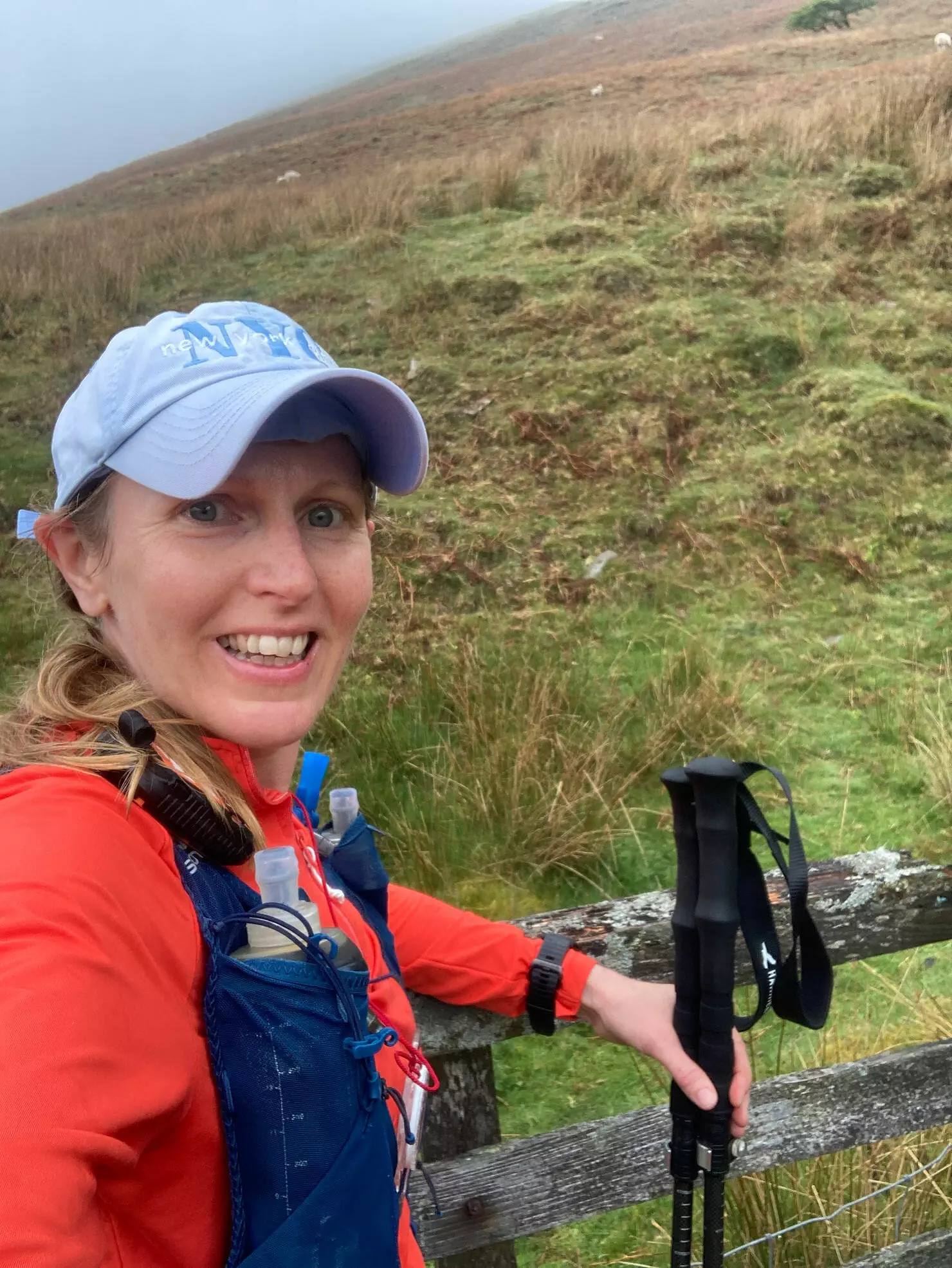
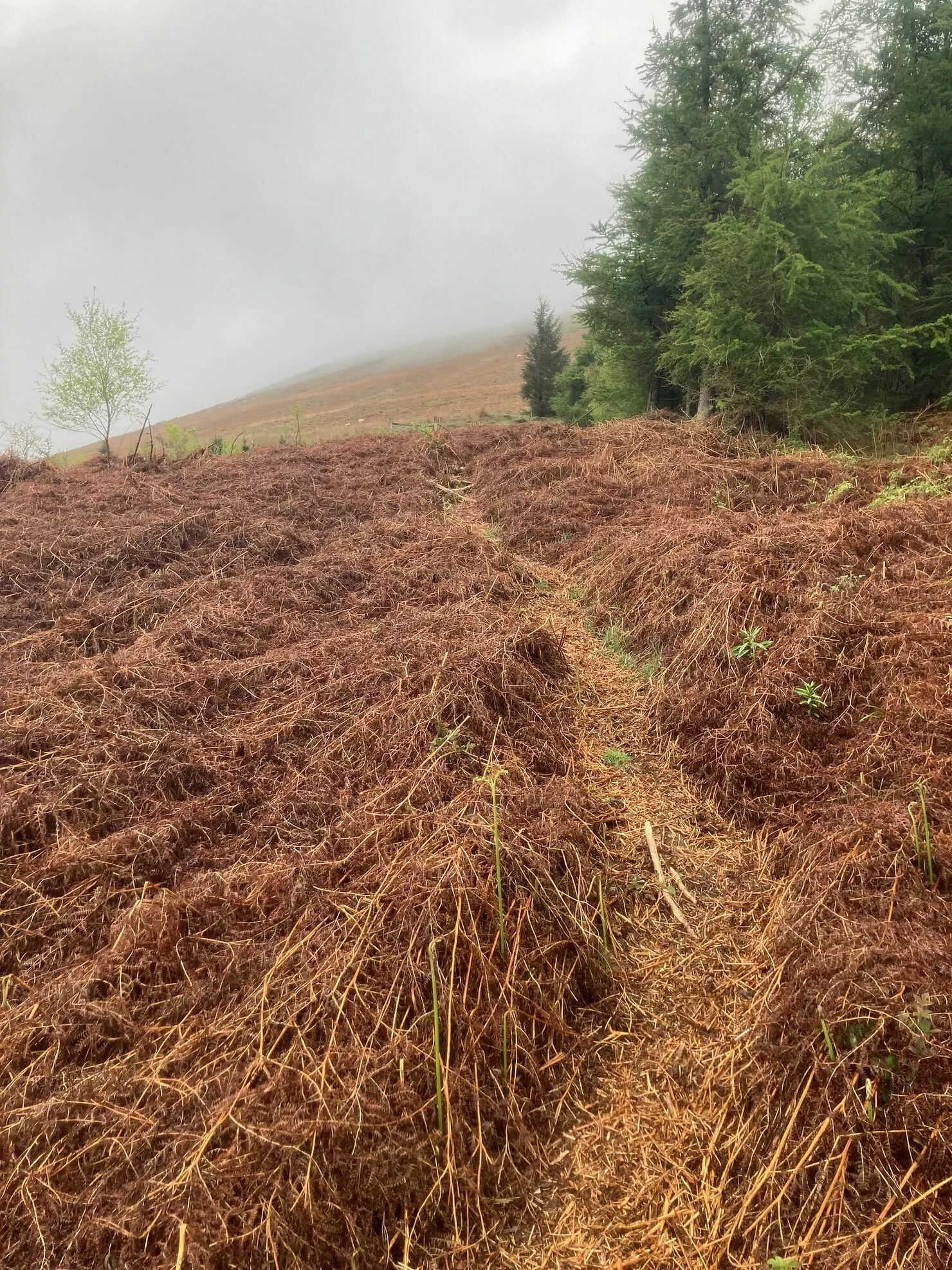
This was my nemesis. I’d had such a nightmare getting up here before because I’d picked a really bad route. I knew that there was a footpath here somewhere, I just had to find it. I hunted around and found a slope that looked a bit like a footpath. I followed an animal track and went through a load of little trees. I then came across a much more defined path and soon saw what I had been looking for, a chained shut gate! Ed (route creator) had told me this was here. When I had been here before I had climbed over barbed wire fence as I had started the climb too early and had to fight through bracken. My goal today was to locate this gate and then follow the path downwards, making a note of how to do it properly. I proudly leaned on the gate at 3.32pm and took my photo.
I retraced my steps and where I had come out from the trees earlier I could just about see the path continue. I followed it down and took note of my surroundings. As I reached the track I took a few photos so I could commit this once tricky bit to memory. Now I’ve done it though, it’s easy and I’ll know exactly where to go. Hopefully my photos will assist others looking for this ‘secret’ footpath.
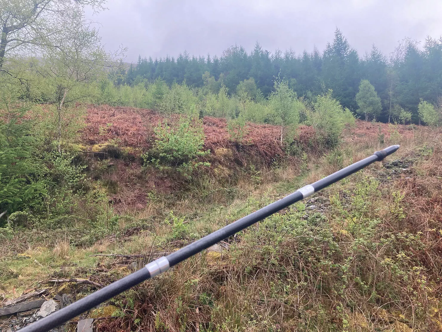
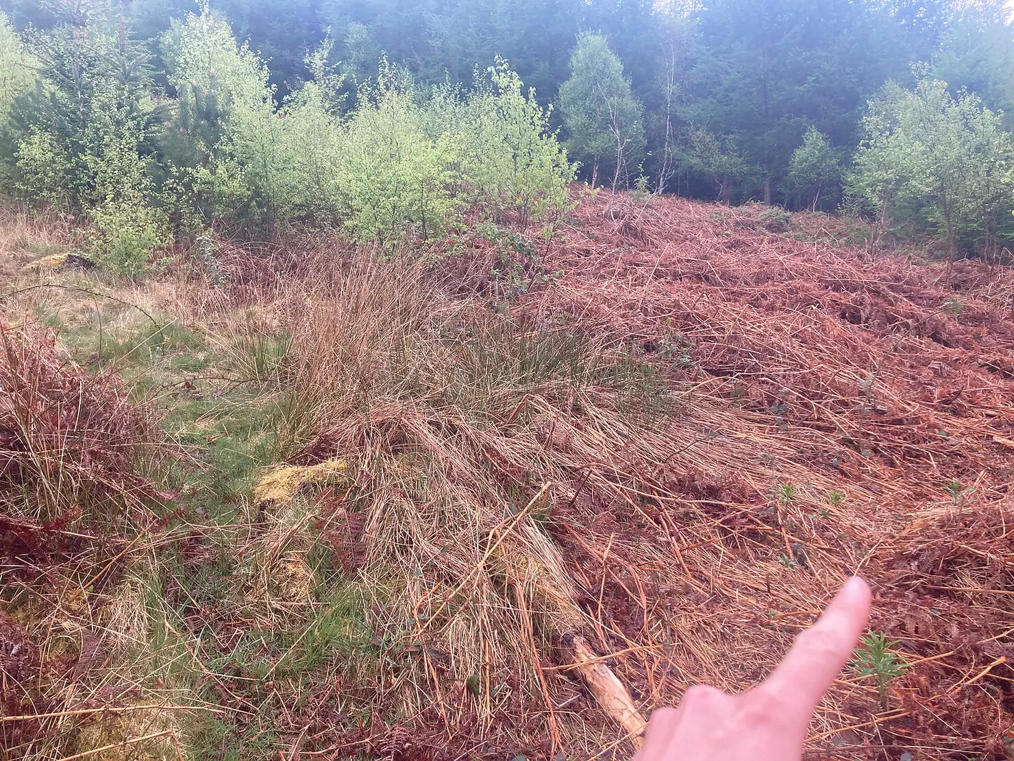
I rejoined the road and had around a mile to go before reaching my car. What a fantastic day out I had, successfully finding the river crossing at the start, completing the final 3 summits, and figuring out the tricky footpath. I have now recced the entire Gwynne-Harris Round, there’s just one thing for it now, I need to do it for real!
What’s in the snack pack?
1x Hula Hoops
2x bars
Nuts, dried fruit and chocolate trail mix
Shell-less Skittles
Sugar coated stemmed ginger
Mints
2x 500ml bladders water – both with SiS
1x litre back bladder – with SiS
Gloves
Hat
Inov 8 Trailshell waterproof jacket
OMM Halo waterproof trousers
Salomon Bonatti waterproof over mittens
Long sleeved spare layer
Vasaline
Spare hair band
Safety pins
Compeed, plasters, surgical tape, spare socks
Harrier Helvellyn Carbon Z-Poles and quiver
Silva head torch
Whistle
Survival blanket
Fully charged mobile phone
Harvey’s map
Silva Expedition 4 compass
SPOT Tracker hired from Track Trail
What I wore: Saucony Ultra ST, Garmin Fenix 6 Sapphire, buff, Sweaty Betty power leggings, Stance socks, long sleeved top, Dirty Girl gaiters, sun cap, Salomon Adv Skin 12 running vest.
Lead up: This was a back-to-back day and my last big training weekend before I attempt the Gwynne-Harris Round for real in just three weeks time. I had run the Blacks to the Beacons the day before.
Morning preparations: A leisurely morning not waking up to an alarm, enjoying a full cooked breakfast at my accommodation and then having a short roller session with my wooden pole which is great for getting loads of little niggles out of my fascia tissue.
Summary Absolutely delighted with how the recce went, I navigated the route with ease, just by using the gpx. I found a great short cut at the end and I discovered a much better way to attack Allt Lywd which will be a valuable time saver next time.
Lessons learned Completing the full Gwynne-Harris Round by splitting it into shorter chunks has been hugely valuable, it’s the first time I have ever attempted anything like this and I can truly see the value in reccing a route. When I run the route for real I’ll be able to save so much time just by being able to confidently make the right direction choice at each gate, stile, stream, fence line etc. Can’t wait to get out there and do the whole route now!
Results
Elapsed time: 4 hr 56 m 52 s

I'm proud to be a brand ambassador for Protein Rebel, whose products help me through all my ultra marathons. You can now try Protein Rebel and save 15%! Use discount code LizzeG15 at checkout.
© Copyright 2025 Ultra Mad Lizzie
Website built, hosted and maintained by
Web X Design Studio